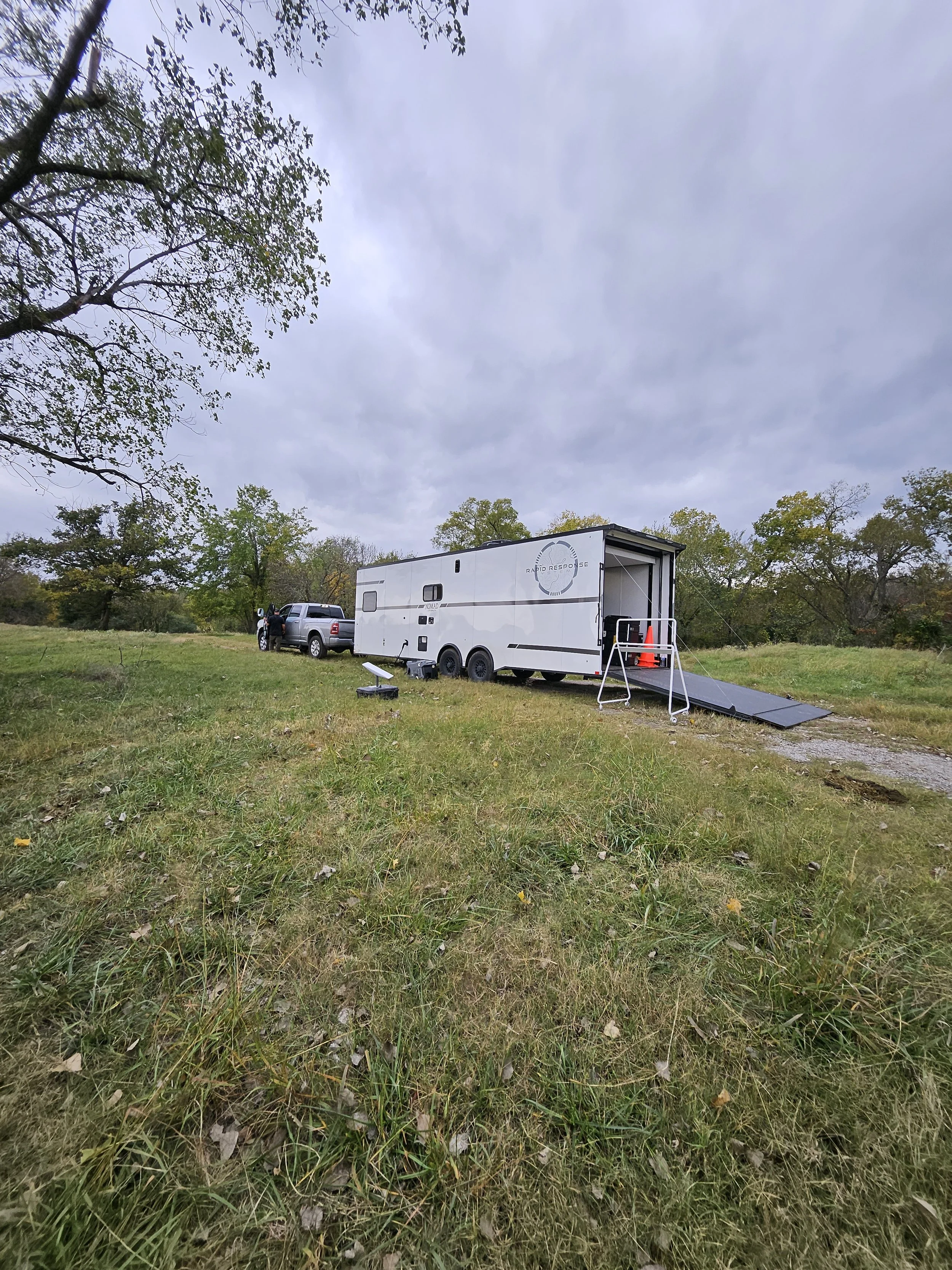
Pioneering Clear Solutions in Emergency Response and Environmental Projects
EXPERT SERVICES +
-
Digital Response Tools
Our suite of digital tools is specifically designed to meet the dynamic needs of emergency response teams. With real-time data access, advanced analytics, and streamlined communication, these tools are pivotal in transforming traditional emergency response into a more effective, coordinated, and intelligent operation.
RRapidmapS: Your Digital Companion in Crisis Management
At the core of our digital offerings is RRapidmapS, a sophisticated platform designed to revolutionize emergency management. Key features include:
1. Dynamic Digital Mapping: Integrates advanced mapping technologies for precise real-time geographic data visualization.
2. AI-Powered Analytics: Harnesses artificial intelligence for predictive analytics and automated data processing, supporting smart decision-making.
3. Customizable Digital Forms: Facilitates accurate data collection and reporting with adaptable digital forms for various emergency scenarios.
4. Secure Data Management: Ensures the security and integrity of crucial information with robust data transfer and storage protocols.
5. Advanced Visualization Tools: Employs 3D modeling for an in-depth understanding of incident sites, both indoor and outdoor.
6. Push-to-Talk Interface with Global Connectivity: Offers a push-to-talk communication system, ensuring seamless coordination and real-time location data for enhanced safety and accountability.
7. Comprehensive UAS Integration: Incorporates UAS data for aerial perspective and detailed situational analysis.
8. Scalable and Modular Architecture: Adapts to evolving emergency management practices with its flexible, scalable design.
9. Continuous Training and Support: Provides extensive training modules and ongoing support for maximum proficiency in tool utilization.
10. Regular Updates and Enhancements: Continuously updated with the latest technological advancements in emergency response.
-
Advanced UAS Services
Rapid Response Systems (RRS) offers advanced drone services as part of its comprehensive emergency response solutions. These services are designed to enhance situational awareness, data collection, and visualization capabilities in various emergency scenarios. Here are key aspects of RRS's advanced drone services:
1. Drone Mapping: Utilizing drones, RRS provides detailed mapping of affected areas. This is crucial in emergencies for understanding the scope of an incident, identifying impacted areas, and planning response strategies. Drone mapping offers a bird's-eye view, allowing for accurate assessments that ground-level operations might miss.
2. Multispectral Data Analysis: RRS's drone services include the capability to capture and analyze multispectral data. This type of data collection is vital for environmental monitoring, as it can identify different materials, vegetation health, water contamination, and other critical environmental factors.
3. Thermal Sensors: Equipped with thermal sensors, drones can detect heat sources, which is particularly useful in search and rescue operations, identifying hotspots in fire incidents, and monitoring industrial facilities. This technology allows responders to locate individuals in challenging conditions and assess the heat intensity of specific areas.
4. Live Video Feeds: Drones can provide live video feeds, offering real-time visual information to the incident command center. This feature enables decision-makers to have a live view of the situation as it unfolds, enhancing situational awareness and aiding in quick, informed decision-making.
5. Integration with RRapidmapS: The data and visuals collected by drones are seamlessly integrated into the RRapidmapS platform. This integration allows for the real-time updating of maps and information dashboards, ensuring that all stakeholders have access to the latest data for strategic planning and response.
6. Experienced Professional Team: RRS's drone operations are managed by a team of licensed drone pilots and visualization experts. These professionals are well-versed in emergency response, hazardous materials management, and geographic information systems (GIS), ensuring high-quality data collection and analysis.
7. Customizable Solutions: Recognizing that each emergency situation is unique, RRS offers customizable drone solutions tailored to specific needs. Whether for industrial incidents, natural disasters, or environmental monitoring, the drone services can be adapted to meet the requirements of the situation.
8. Compliance and Safety: RRS's drone services are conducted with a strong emphasis on safety and regulatory compliance. The operation of drones, especially in emergency scenarios, is subject to strict regulations, and RRS ensures that all flights are compliant with these rules.
9. Enhanced Emergency Response Capabilities: By incorporating advanced drone technology, RRS enhances its overall emergency response capabilities. Drones provide a versatile and effective tool for rapid assessment, continuous monitoring, and the gathering of crucial information in environments that may be unsafe or inaccessible for ground personnel.
-
Consulting and Training
RRS stands at the forefront of emergency management innovation. Our team, rich in real-world experience and technological expertise, is dedicated to empowering your organization with advanced training and consultation services, tailored to the dynamic challenges of today's emergency response environment.
Digital Response Tools: Mastering RRapidmapS
1. Interactive Workshops: Engage in immersive sessions exploring RRapidmapS's powerful capabilities.
2. Scenario-Based Exercises: Harness RRapidmapS in simulated emergencies for critical decision-making and strategic planning.
3. Customized Learning: Benefit from training modules tailored to your unique operational needs and scenarios.
4. Strategic Partnerships: Collaborate with us to integrate emerging technologies and digital strategies into your operations for enhanced communication, coordinated action, and competitive advantage.
UAS Technology: Beyond the Horizon
1. Advanced UAS Operations: Master drone deployment for diverse applications, from photogrammetry to live streaming.
2. Seamless Integration: Learn to integrate UAS data with RRapidmapS for a complete operational perspective.
3. Practical Drone Skills: Develop real-world drone operation skills across various environments.
Swiftwater Boom Deployment: Mastery Over Elements
1. Skill Development: Gain essential skills for deploying boom in swiftwater conditions.
2. Risk Management: Understand how to identify and mitigate risks in challenging aquatic environments.
3. On-Site Training: We offer training at your location, tailored to your specific FRP or GRP needs, along with a complimentary review of your written GRP.
Tabletop Exercises: Scenario-Based Strategic Planning
1. Realistic Scenarios: Engage in detailed simulations of emergency situations.
2. RRapidmapS Integration: Experience the transformative impact of RRapidmapS in crisis management.
3. Collaborative Approach: Enhance teamwork and improve inter-departmental coordination during emergencies.
Qualified Person Training: Pathway to Compliance and Excellence
1. In-Depth Curriculum: Covering all aspects of emergency response, environmental protection, and regulatory compliance.
2. Professional Certification: Earn qualifications that recognize your readiness for complex emergency scenarios.
Superior Emergency Response


